Real-Life object to 3D Model
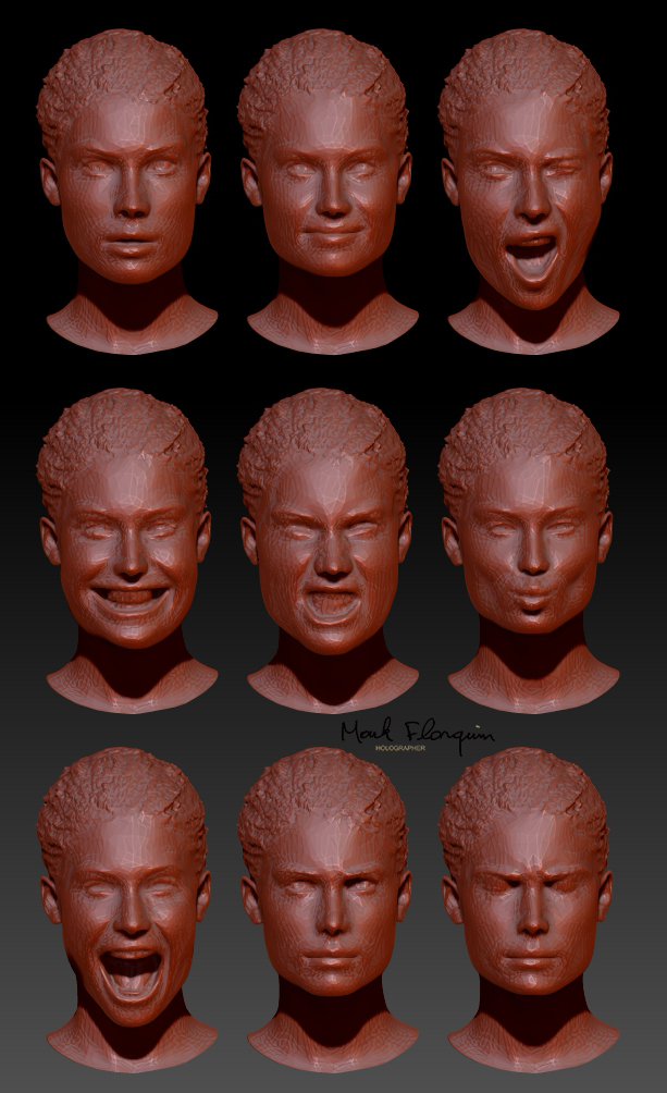
Photogrammetry is a technique used to extract information from images to produce 3D models, maps, and measurements of objects, landscapes, and structures.
It involves using overlapping photographs taken from different angles and analyzing them using mathematical algorithms to produce accurate spatial data.
Photogrammetry is used in a variety of fields, including surveying, architecture, engineering, archaeology, and film and game production.


